
Find Our Latest Video Reviews on YouTube!
If you want to stay on top of all of our video reviews of the latest tech, be sure to check out and subscribe to the Gear Live YouTube channel, hosted by Andru Edwards! It’s free!
Thursday March 3, 2005 6:25 pm
NASA World Wind Satellite Mapping Program

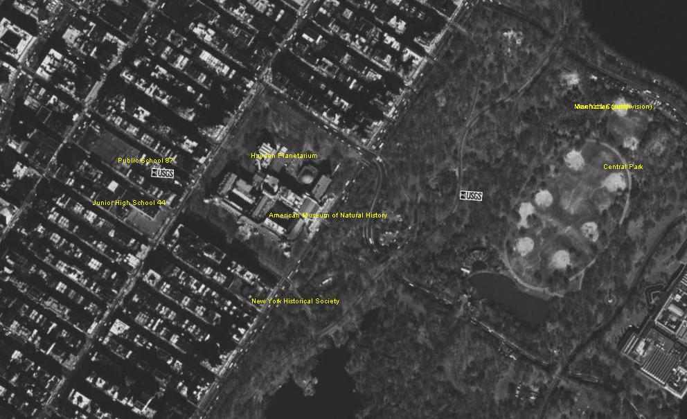
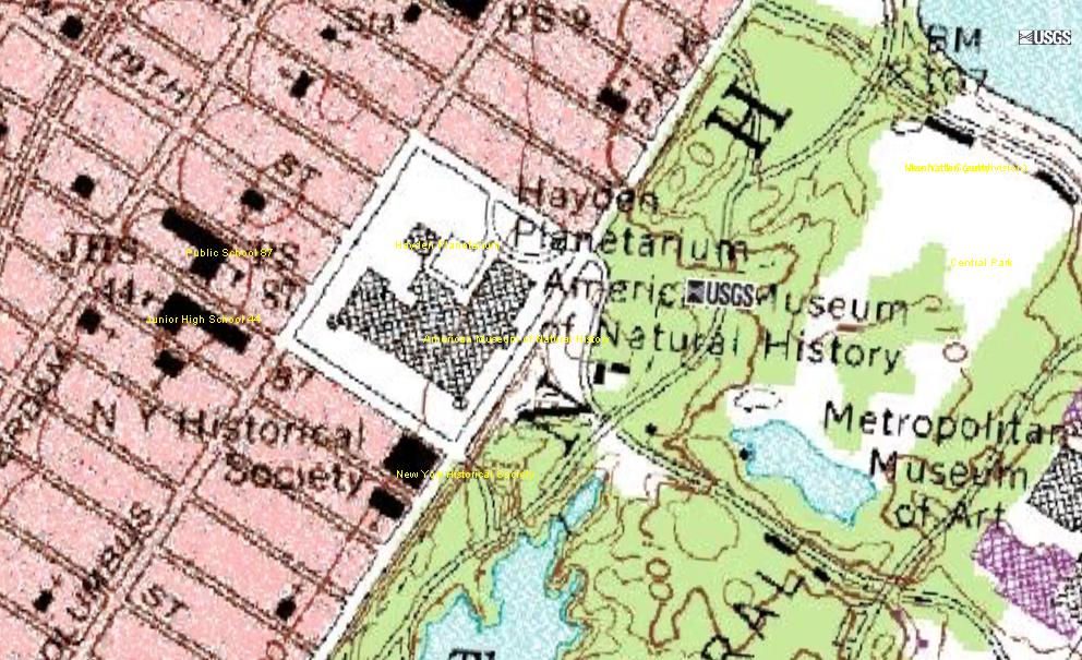
What you see above are images I took using the NASA World Wind mapping software. If you have never used it before, you have to check it out. It uses satellites to show you images of anywhere in the world - and it blows Google Keyhole out of the water. Using buttons in the menu, you can change the view to show actual imagery (see top image), or a traditional topo map (see bottom image). The two images above are actually different views of the same thing - that being The Museum of Natural History right next to Central Park. The screenshots were also taken using the software’s built in capture feature. Click on the above images for more detailed shots. It is well worth the 180 MB download.
Read More  | NASA World Wind (Download here) via C: Pirillo
Latest Gear Live Videos
Advertisement
Advertisement


Advertisement
© Gear Live Inc. {year} – User-posted content, unless source is quoted, is licensed under a Creative Commons Public Domain License. Gear Live graphics, logos, designs, page headers, button icons, videos, articles, blogs, forums, scripts and other service names are the trademarks of Gear Live Inc.